El Niño is getting bigger and BIGGER!
So, as some of my friends in the Midwest might say, “What in the hell is an “El Niño?” 
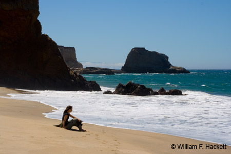
When people in California look out to sea, what we like to see is El Niño, “…the warm phase of the El Niño Southern Oscillation (commonly called ENSO) and is associated with a band of warm ocean water that develops in the central and east-central equatorial Pacific (between approximately the International Date Line and 120°W), including off the Pacific coast of South America.” (according to Wikipedia).
We LIKE it, because it brings us RAIN in the winter. This year, the El Niño in the southern Pacific is getting bigger and bigger!
The U.S. Climate Prediction Center’s monthly report said that the conditions in the ocean are similar to what forecasters saw before the “monster” El Niño winters of 1997-1998 (San Francisco saw a record 47.2 inches in 1997-98.) and 1982-1983, when California was blasted by record storms!
In its report, the Climate Prediction Center (they do SCIENCE there! 😉 stood by last month’s projection of a 90 percent chance that the strengthening El Niño will hang around through the start of next year. And it bumped up the odds of the pattern remaining until spring from 80 to 85 percent.
That’s important for California because the state’s storm track commences in winter. Depending on the strength of the El Niño, the system can add moisture to fronts that typically hit the coast between December and February, potentially providing relief from the drought.
Although an El Niño event is not a GUARANTEE of a wet winter, the BIGGER the El Niño, the greater the chance that moisture will come to California!
Beware the “Blob”
Complicating the prediction of weather is a patch of warm water, farther north from the main El Niño activity in the Pacific.
What some have dubbed “The Blob” has been prevalent during the past few years in tandem with a ridge of atmospheric pressure that blocked storms from hitting California and is widely blamed for the drought.
“The discussion now is what impact will this warming in the North Pacific have this year?” said meteorologist Jan Null at Golden Gate Weather Services. “Without that warm area, I’d be jumping up and down with the likelihood of above normal precipitation.”
Some forecasters say “The Blob” could continue to have a role in deterring storms or at least weaken the El Niño. Or, conversely, it could be a source of moisture that reinforces a wet El Niño.
While Southern California remains on track for a wet winter, and surfers hope for big swells, it remains to be seen how far north the rains may spread.
-Bill at
Cheshire Cat Photo™ – “Your Guide to California’s Wonderland™”
You can view higher-resolution photos at the Cheshire Cat Photo Gallery on SmugMug, where you can also order prints in a HUGE variety of sizes and types, even on canvas and metal! The Cheshire Cat Photo Store on Zazzle® contains a wide variety of apparel and gifts decorated with our images of California. All locations are accessible from here. LIKE Cheshire Cat Photo on Facebook here! If you don’t see what you want or would be on our email list for updates, send us an email at info@cheshirecatphoto.com. Follow us on Twitter at @cheshirkat and on Instagram at: cheshirkat


